Local weather data for business and agriculture

SkyMetric a weather picture that changes with your territory

We turn weather-station observations into precise data for planning work, managing risk, and using resources responsibly.

01 / mission
local layer

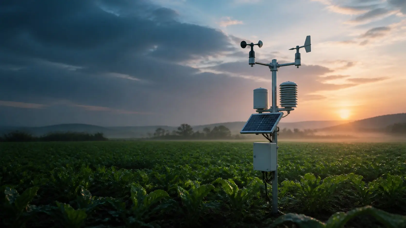
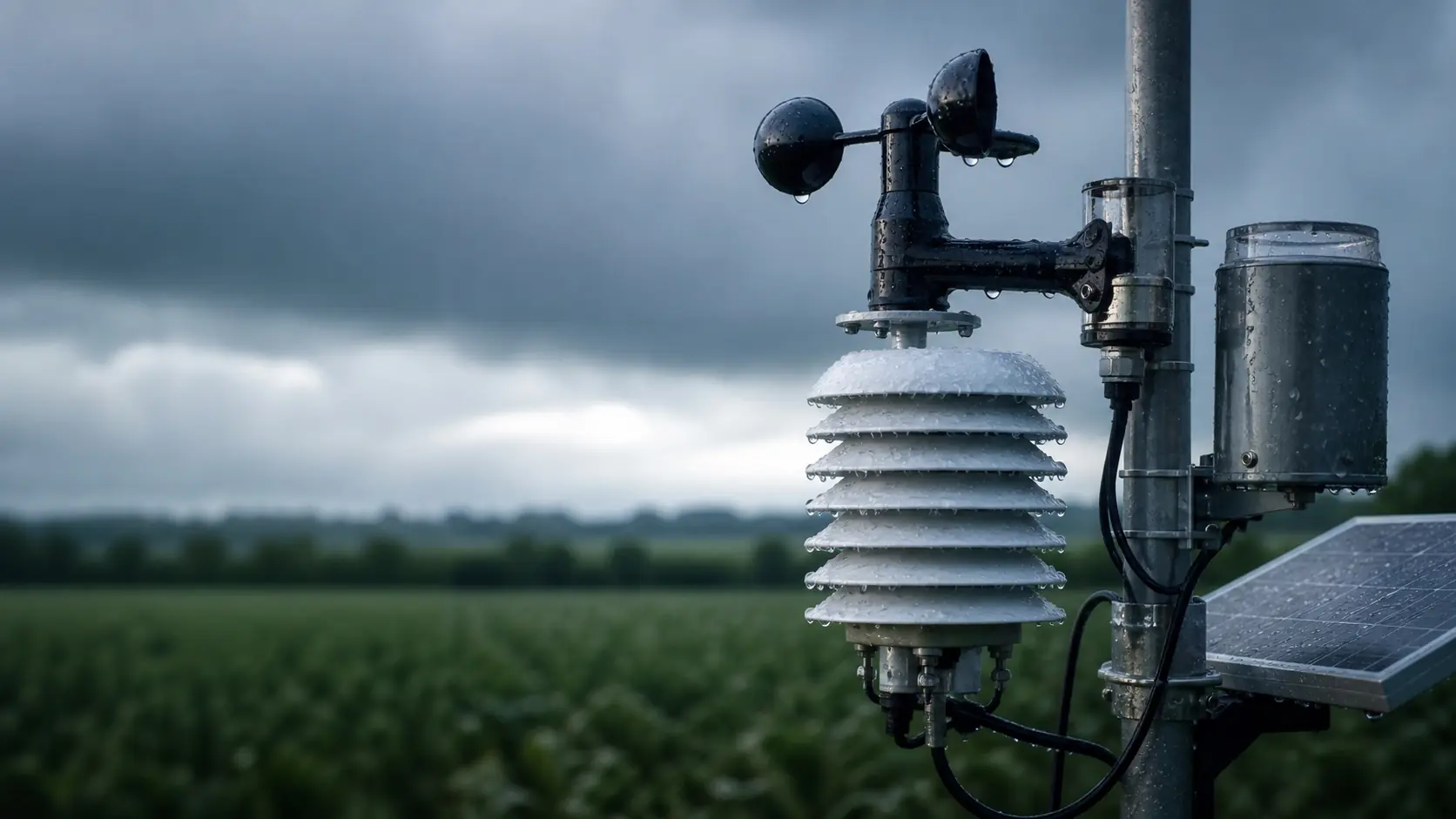
Weather becomes useful when it is measured nearby

SkyMetric collects local observations where weather shapes real decisions: in the field, at a facility, in a warehouse, along a route, or on an operations site.

Our mission is to make meteorological data practical: fewer assumptions, fewer unnecessary actions, more precision, and more respect for natural processes.

nearby precision responsible resources practical decisions
measurement point near the asset data is tied to the client's actual territory
decision layer live + archive current conditions and history for analysis
value less unnecessary work operations are planned from measured conditions
02 / business
operations

Data for operations where weather has a cost

Temperature, wind, rainfall, and humidity help plan dispatches, transport, facility operations, warehouse workflows, and outdoor worksites.

  • a local view of conditions instead of an averaged forecast;
  • observation history for reporting and risk analysis;
  • delivery formats aligned with internal company workflows.
monitoring wind / rainfall conditions for routes, sites, and field teams
delivery CSV, Excel, API formats adapted to client-side procedures
period day / month / season scheduled reports and archive exports
03 / agriculture
field window

Choose better windows for fields, water, and machinery

In agriculture, local data helps assess conditions for irrigation, treatment, harvest, crop protection, and seasonal planning by specific plot.

  • less unnecessary irrigation and more precise use of water;
  • better control of weather windows for machinery and teams;
  • condition history for comparing seasons and plots.
field profile moisture + wind planning treatment, irrigation, and harvest
effect better work window by specific plot, not the area's average weather
04 / delivery
contract feed

A contracted service, not a one-off spreadsheet

We can provide live data, archives, scheduled reports, and exports in an agreed format: CSV, Excel, an analytical summary, or API integration.

Metrics, cadence, and territory are defined around the client's task.

live values archive scheduled summary API
01 define territory and metrics
02 set cadence and delivery format
03 deliver data under contract
Service scope

What can be delivered under contract

The service is built around clear information delivery: live observations, archives, scheduled reports, and formats that fit into working processes.

live

Live observations

Temperature, humidity, pressure, wind, rainfall, and other metrics from the station's available sensors.

Parameters6+
Cadencescheduled
Bindinglocation
archive

Archive and trends

Observation history for period analysis, seasonal comparison, internal reporting, and weather-risk control.

Periodsday-season
Comparisonplots
Reportingrisks
delivery

Reports and integrations

CSV, Excel, scheduled summaries, or API integration with an agreed cadence and data structure.

FormatsCSV/XLS
Summaryregular
IntegrationAPI

Let's discuss weather-data delivery

Tell us which territory and task you need data for. We will define the metrics, cadence, delivery format, and cooperation terms.

brief Three inputs are enough to prepare a proposal
Territory field / facility
Cadence day / week
Format report / API